Explore the Leventhal Map Center Explore the Map Collections at the Library of Congress Explore the Osher Map Library |
Thoreau’s Maps
Map of 1839 Excursion:When he started working on the journal entries and notes that he developed into the manuscript for his first book, Thoreau began by drawing a map of a boating and hiking trip that he had taken with his brother, John, to the White Mountains in New Hampshire in 1839. Read More 
The Champlain Maps:Thoreau has long been known as a tracer of maps, but the recent discovery of his extensive annotations to Samuel Champlain's 1612 map of 'New France' show the centrality of cartography to his understanding of the natural world. Read More 
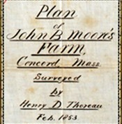
Thoreau’s Surveys:While earning small sums from his writings and odd jobs, Thoreau made his living largely as a land-surveyor, measuring lots for commercial development. He sometimes enjoyed the work, but emphasized the conflicts between his higher pursuits and his paid occupation. As he wrote in his journal on September 20, 1851: "The poet must keep himself unstained and aloof. Let him perambulate the bounds of Imagination's provinces ...and not the insignificant boundaries of towns. The excursions of the imagination are so boundless, the limits of towns are so petty." Read More 
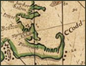
Cape Cod Map:Thoreau not only explored the Cape extensively on foot, but also studied a variety of maps, histories, and travel books in order to write the series of essays that were eventually published as a single volume, Cape Cod, in 1865, three years after he died. Thanks to this wide and deep research, the book is, as Thoreau wrote admiringly of the maps made by Samuel Champlain, "crowded with information, geographical, ethnographical, zoological, and botanical." Read More 
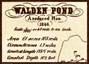
Survey of Walden Pond:In the first edition of Walden (1854), Thoreau included a map of Walden Pond modeled after coastal surveys. In part because the map was upsidedown, some readers concluded that the book was a satire designed to make light of the Transcendentalist tendency to see cosmic significance in what others might view as the mundane details of life. Read More 
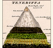
Humboldt’s Maps:Having concluded that "[i]t takes a man of genius to travel in his own country," Thoreau modeled his fact-finding missions in Concord and the rest of Massachusetts after the grand expeditions undertaken by Baron Alexander von Humboldt, who was widely celebrated as the world's preeminent 'man of science' during the first half of the nineteenth century. Read More |


